MAP Issue Trackers
The ICAS Maritime Issue Trackers project is an online, collaborative platform designed to encourage intellectual exchange on maritime developments and issues around the world. The longest-running project at ICAS, it currently features trackers for three regions:
Join in the conversation on Twitter at #ICASMAP and #MAPWave.
POLAR
Polar Trackers
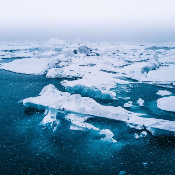
The situations in the polar regions go beyond their original regional nature. They now have a vital bearing on the interests of States outside the region and the international community as a whole with global implications and international impacts. This issue tracker is a part of our commitment to ensuring that the public, researchers, and policymakers have easy access to the latest updates regarding the Arctic and Antarctic Ocean regions.


East China Sea
East China Sea Tracker
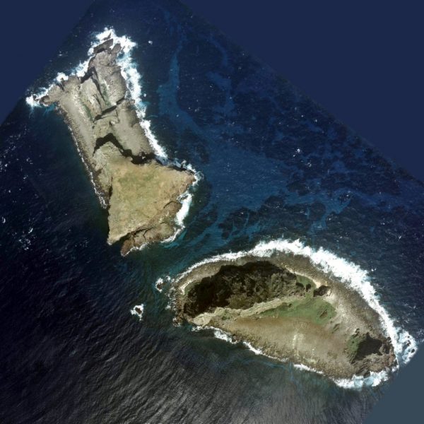
The neighboring parties in the East China Sea region constitute roughly a quarter of the world’s population and nearly a quarter of the world’s economy. Therefore, both economic and security dynamics in the region have a significant impact on the world. In the backdrop of increasingly tense bilateral relationships, such as the U.S.-China relationship, the Japan-South Korea relationship, and the Inter-Korean relationship, it is the goal of ICAS to use these trackers to build a platform for intellectual exchange that spans across institutions and sectors to promote greater multilateral cooperation and regional stability.
South China Sea
South China Sea Tracker
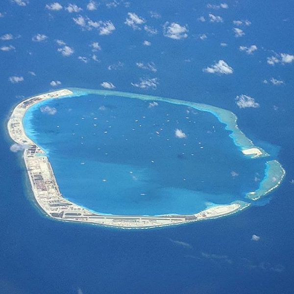
The South China Sea is one of the most hotly contested maritime regions in the world today. Six stakeholders, China (PRC), Taiwan (ROC), Brunei, Malaysia, the Philippines, and Vietnam all have overlapping territorial and maritime claims in the region, with each claimant citing historical records, international treaties or differing interpretations of UNCLOS to substantiate or legitimize their claim. These disputes have led their navies, coastguards, and fishing fleets to becoming frequently embroiled in maritime claims-related encounters.


